Autonomous GPS 4WD Robot
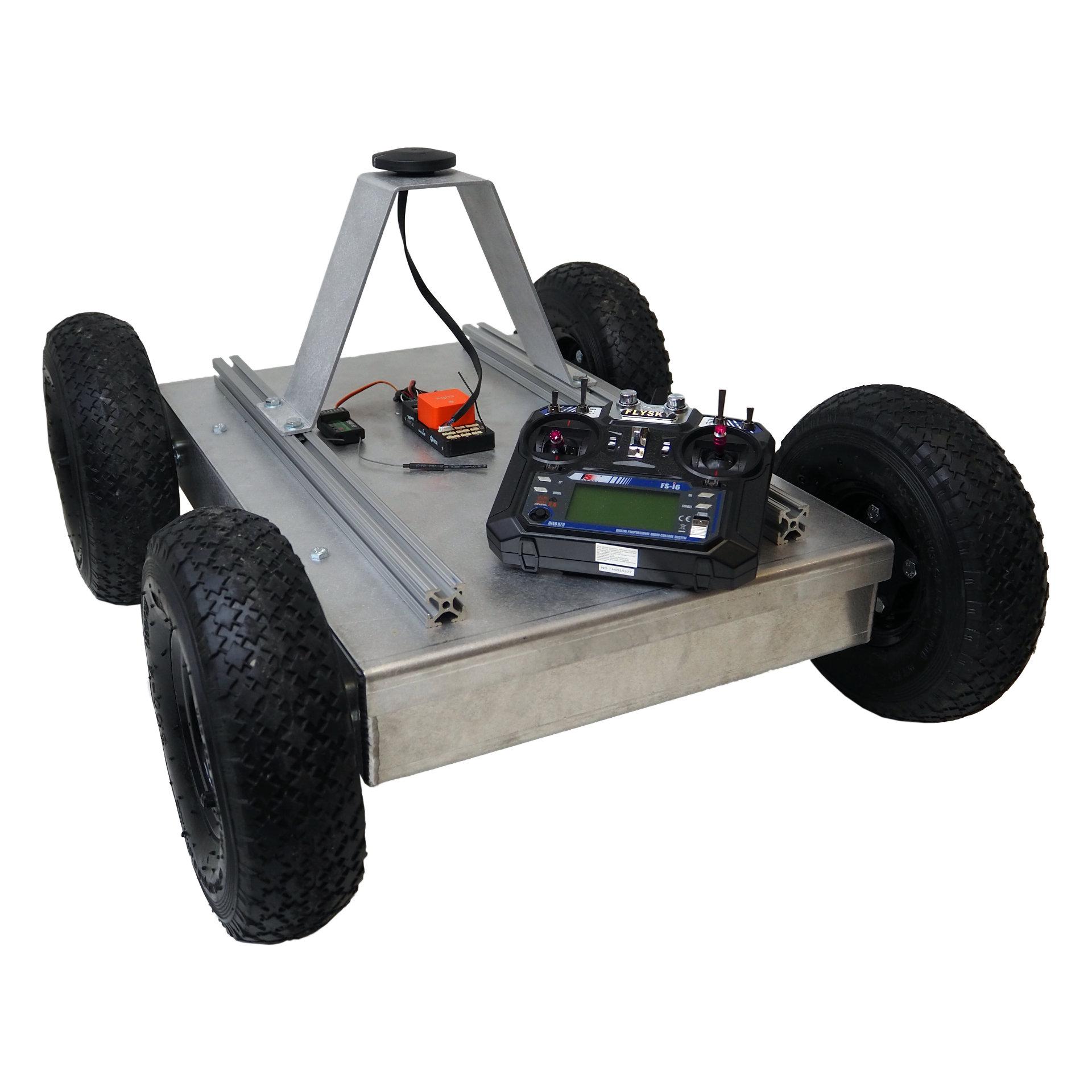
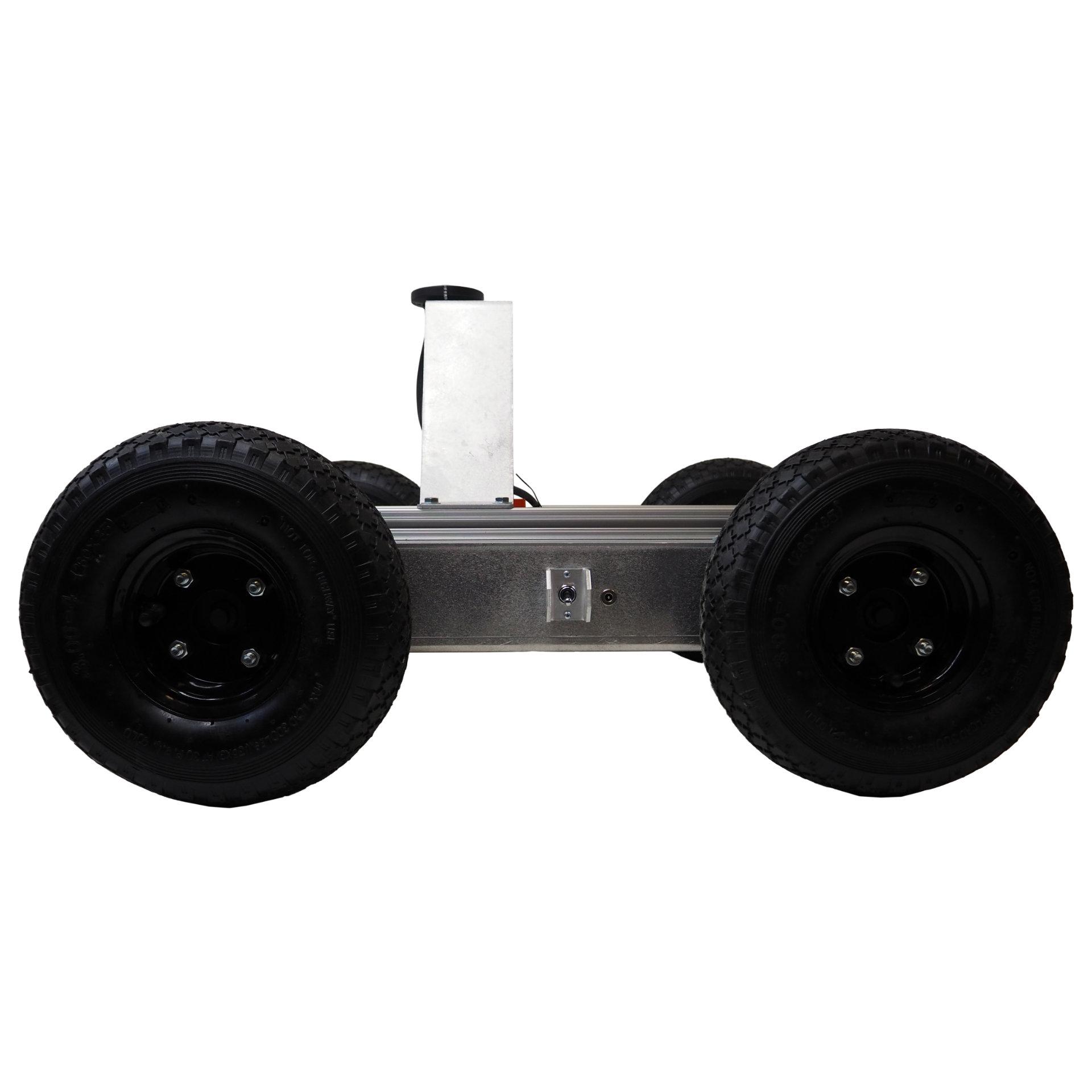
This is a Autonomous GPS 4WD Robot Single Bearing (SB) platform that is set up for outdoor localization and autonomous navigation.
$16,000.00
Buy nowDescription
- Basically this is a Autonomous GPS 4WD Robot Single Bearing (SB) platform that is set up for outdoor localization and autonomous navigation.
- The Autonomous Mobile Robot is powered by an on-board CubePilot system that’s built on top of the versatile and open-source ArduPilot software suite.
- CubePilot uses GPS, IMUs and encoders to localize the robot outdoors while guiding it through an array of GPS waypoints.
- Autonomous GPS 4WD Robot are controlled through the provided RC transmitter.
- Certainly Mission Planner is a full-featured user interface that provides a point-and-click waypoint entry using Google Maps.
- Two Digi XBee3 radios are included for wireless telemetry between the robot and Mission Planner.
- Other features include robot position and status monitoring, data logging, access to ArduPilot configurations and much more.
- Actually Autonomous GPS 4WD Robot All of our robotic platforms are designed and fabricated in North Carolina.
- Dimensions (LxWxH): 22″ x 15″ x 16″
- Weight: 47lbs
- Speed: ~2.3mph
- Axle Mount: Single Bearing (SB)
- Capacity: Approximately 25lbs
- CubePilot The Cube Orange Standard Set
- CubePilot Here 2 Precision GNSS Module
- (Qty 2) 2.4 GHz Digi XBee3 Radio
- Using Mission Planner, this robot can easily be setup to repeat a GPS plotted route for inspection or data gathering.
- Accordingly Other sensors, such as cameras can be easily mounted to the provided rails for extra functionality.
- Accordingly this robot can be used to transport light payloads.
- Autonomous GPS 4WD Robot This is a great flexible and modular platform for a head start on autonomous robotics projects.
- Feel free to contact us for any customization.
- By default, this robot comes with a Here2 GNSS GPS module that provides standard GPS accurate to about 3 meters.
- Certainly Autonomous GPS 4WD Robot Upgrading to a Here+ RTK GPS system will improve the system to sub-meter accuracy.
RTK:
- Initially Real-time kinematic (RTK) positioning is a technique that greatly improves GPS accuracy but requires a
- GPS base station to provide correctional data.
Additional information
| Brand |
|---|
You must be logged in to post a review.



Reviews
There are no reviews yet.